The Canyon Crawl

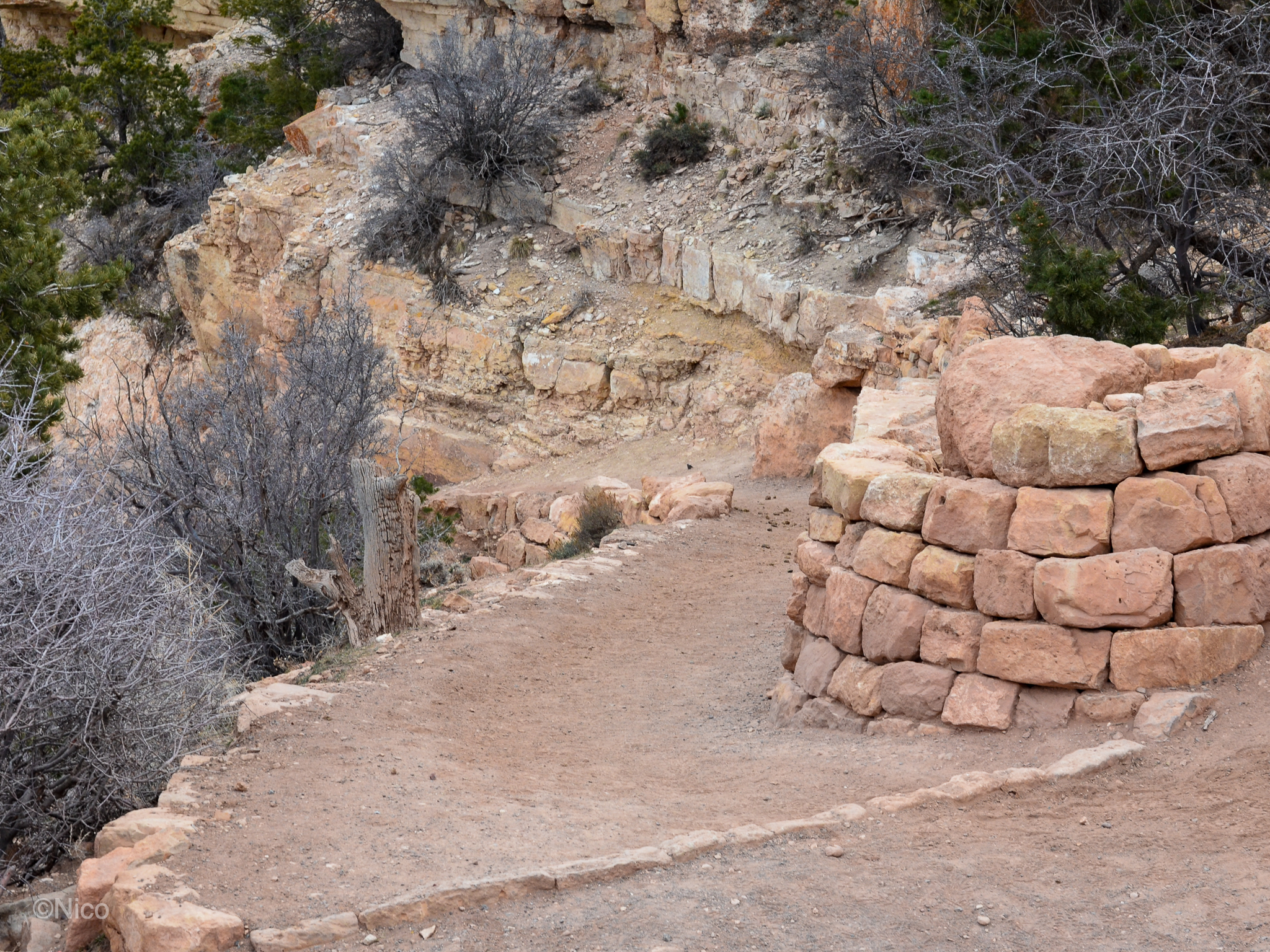
Our first look at the Canyon upon exiting the shuttle van at the South Kaibab Trailhead. I’m not sure now, whether we noticed at the time, the trail we would soon traverse snaking along the edge of the steep slope shown here beginning at the lower right of the photo. We climbed this rim rock and stared… foolish old men held in kryptonite… 17-degrees Fahrenheit. Later I would come to understand these distemporal moments as “stopping the world” and “seeing without words.”

Mapping the Abyss

Map displayed by the National Park Service at the South Kaibab Trailhead. Here, the morning of the hike, was the first I’d seen a hiking trail map. It outlines our intended route perfectly: down the South Kaibab to Phantom Ranch for two nights, across The River Trail and take The Bright Angel through Indian Garden and back up to Grand Canyon Village. The South Kaibab Trailhead, our starting point, is remote and accessible only by NPS shuttle. The hike to Phantom Ranch begins in a van. I think I was so excited to be going to the floor of the Canyon, I never thought to research the trails, the distance, or the conditions. Had I done so, I would have missed the adventure of a lifetime.

This map omits crucial markers like “Cedar Ridge” and “Skeleton Point” which would have alerted me to Jeff’s misremembering of many things on this hike. Thus, I was sanguine strolling out behind him onto the South Kaibab the morning of descent.